The route maps are now available to download!
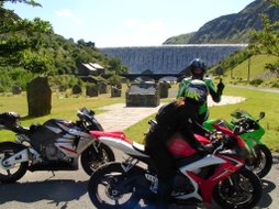
There are 3 route maps in total. In addition to the 163 mile main route there is also a medium and a short length contingency route, either of which which might be used in the event of bad weather (visibility in the Elan becomes an issue).
These contingency routes are not based on the main route at all, any decision to use these will be made on the day depending on conditions. Do not assume that if it is raining we will not do the main route as planned; come prepared.
A single self-extracting ZIP file containing the three maps can be downloaded here.
All maps are in Adobe .pdf format. The reader is free and can be downloaded here.
skip to main |
skip to sidebar


Everything you need to know, all in one place
Navigation Menu
BBC - Weather Centre - Forecast for Crickhowell, United Kingdom
BBC - Weather Centre - Forecast for Aberystwyth, United Kingdom